A MEMORY BOOK FROM THE BAVARIAN ALPS

The Mountain Guy!

Four trails. One overworked camera roll. Eibsee, Partnachklam, Gaisalpsee & Seealpsee — taped, pinned and doodled down before I forget.
JOIN THE NEXT HIKE → or start the story at Eibsee ↓
Eibsee's turquoise water below the snowy Zugspitze
exhibit A: the water
Standing on a rocky ridge in golden light
exhibit B: the ridge
SCROLL

Hi — I'm the guy behind the camera. Most weekends lately you'll find me somewhere in the Bavarian Alps, walking uphill on purpose. This book keeps the good parts: four trails, a few thousand meters of climbing, one very cold swim, and the stars we stayed out too late for. Scroll slowly.

— The Mountain Guy
WHERE ALL OF THIS HAPPENED

The map, drawn from memory

SOUTHERN BAVARIA ALLGÄU ALPS WETTERSTEIN MÜNCHEN Garmisch-Partenk. Oberstdorf N ≈ 20 KM (OPTIMISTIC) 1Eibsee 2Partnachklam 3Gaisalpsee 4Seealpsee ↓ Austria, right behind these
DRAWN FROM MEMORY · ABSOLUTELY NOT TO SCALE · PINS JUMP TO CHAPTERS
1EIBSEE 2PARTNACHKLAM 3GAISALPSEE 4SEEALPSEE
TRIP
N°1

Eibsee

GRAINAU · FOOT OF THE ZUGSPITZE · 973 M

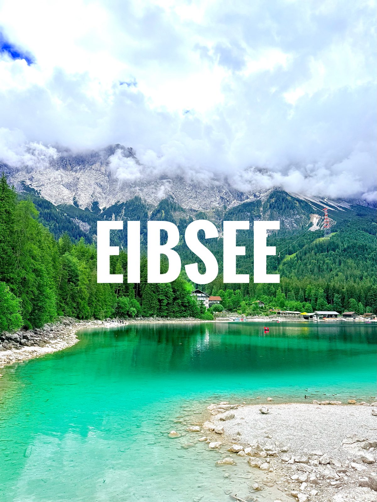
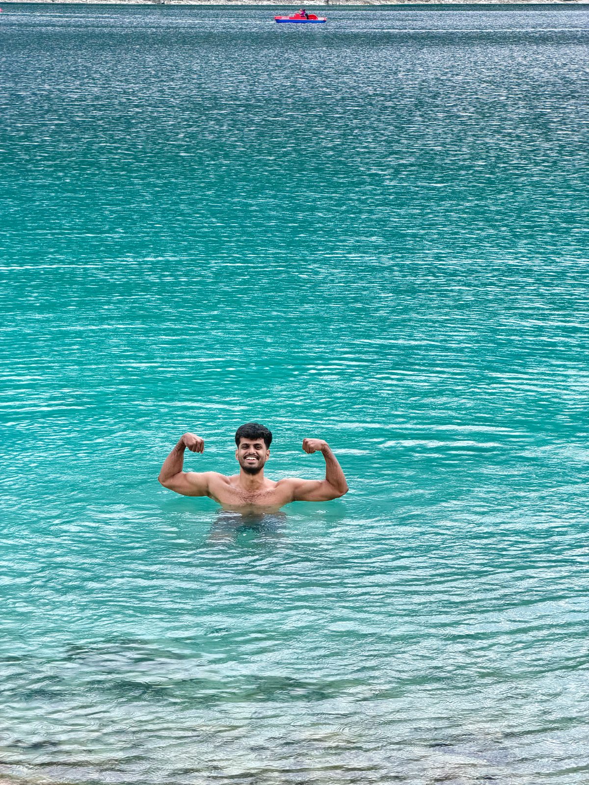
The lake that doesn't look real in photos — and looks even less real in person. We took the slow loop around the shore, snow still hanging onto the Zugspitze, and I got exactly one swim in before my legs filed a complaint.
LOOP7.5 km
WATER~8°C, brave
MOODswim-happy
Turquoise Eibsee with the snow-covered Zugspitze behind
no filter — the water really does this
Flexing in the cold turquoise water of Eibsee
one (1) heroic swim
note to self: bring a towel next time.
TRIP
N°2

Partnachklam

GARMISCH-PARTENKIRCHEN · A CRACK IN THE EARTH

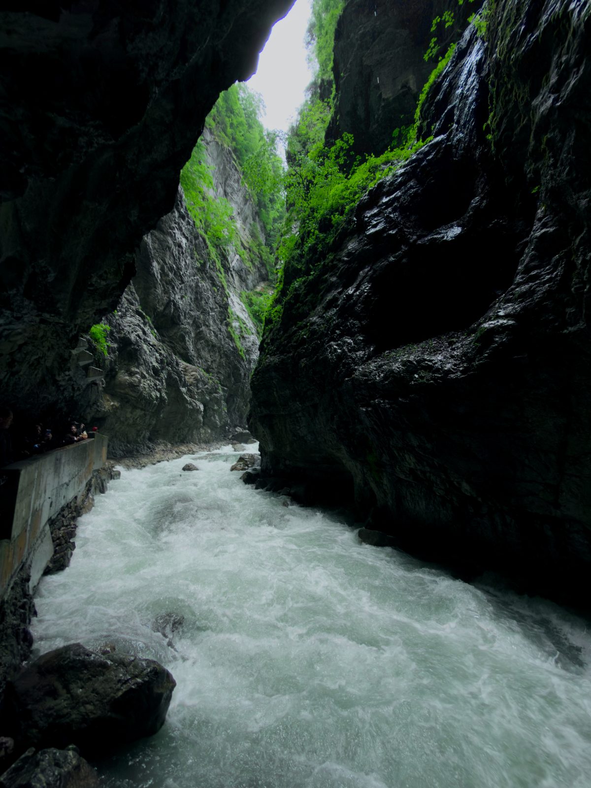
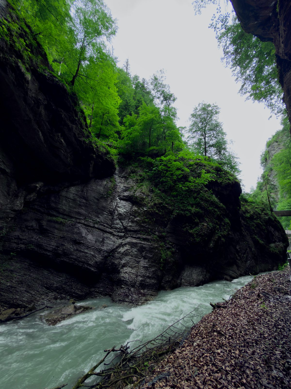
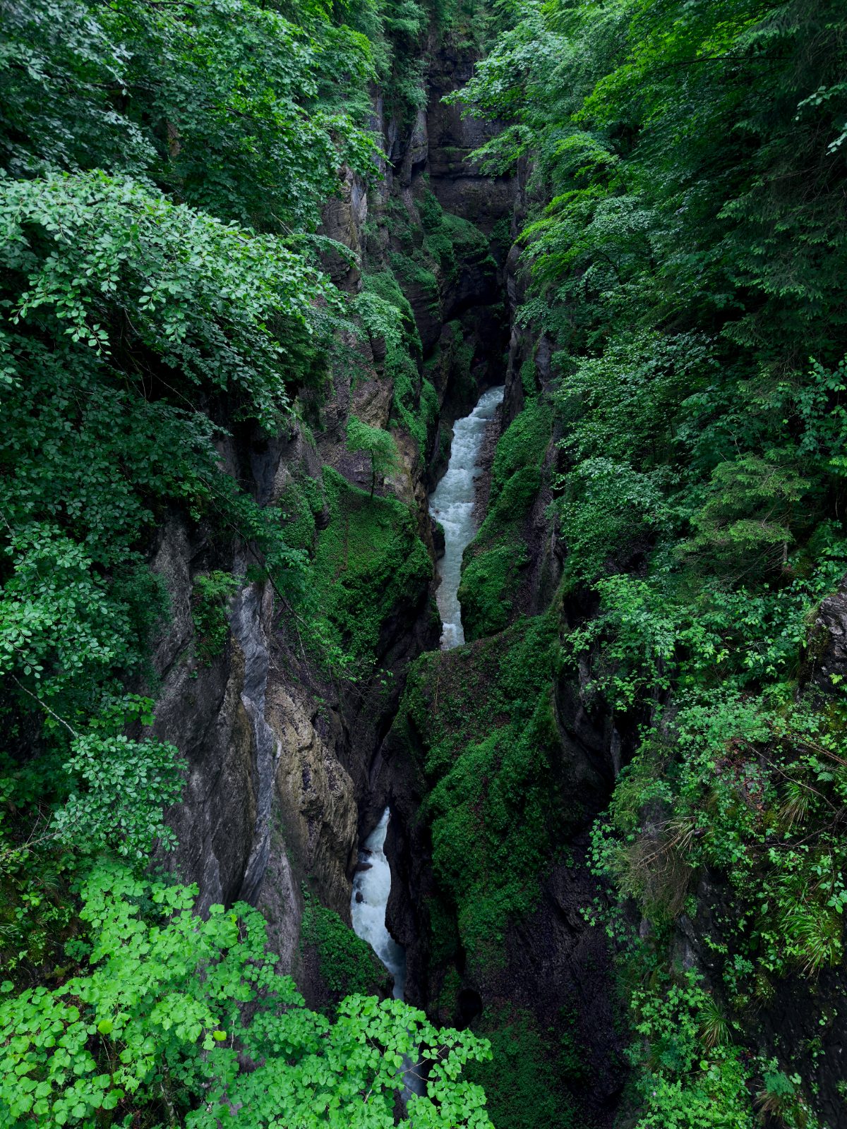
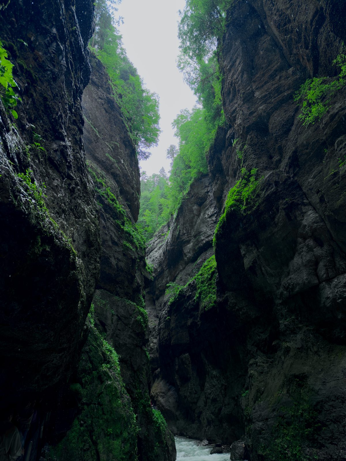
A gorge you walk straight through — 80-meter walls, glacier water in a hurry, and a fine cold mist that finds you wherever you stand. We came out the far end and just kept going up, past the signposts, into the meadows. Then we waited for dark.
GORGE702 m long
WALLSup to 80 m
MOODgloriously misty
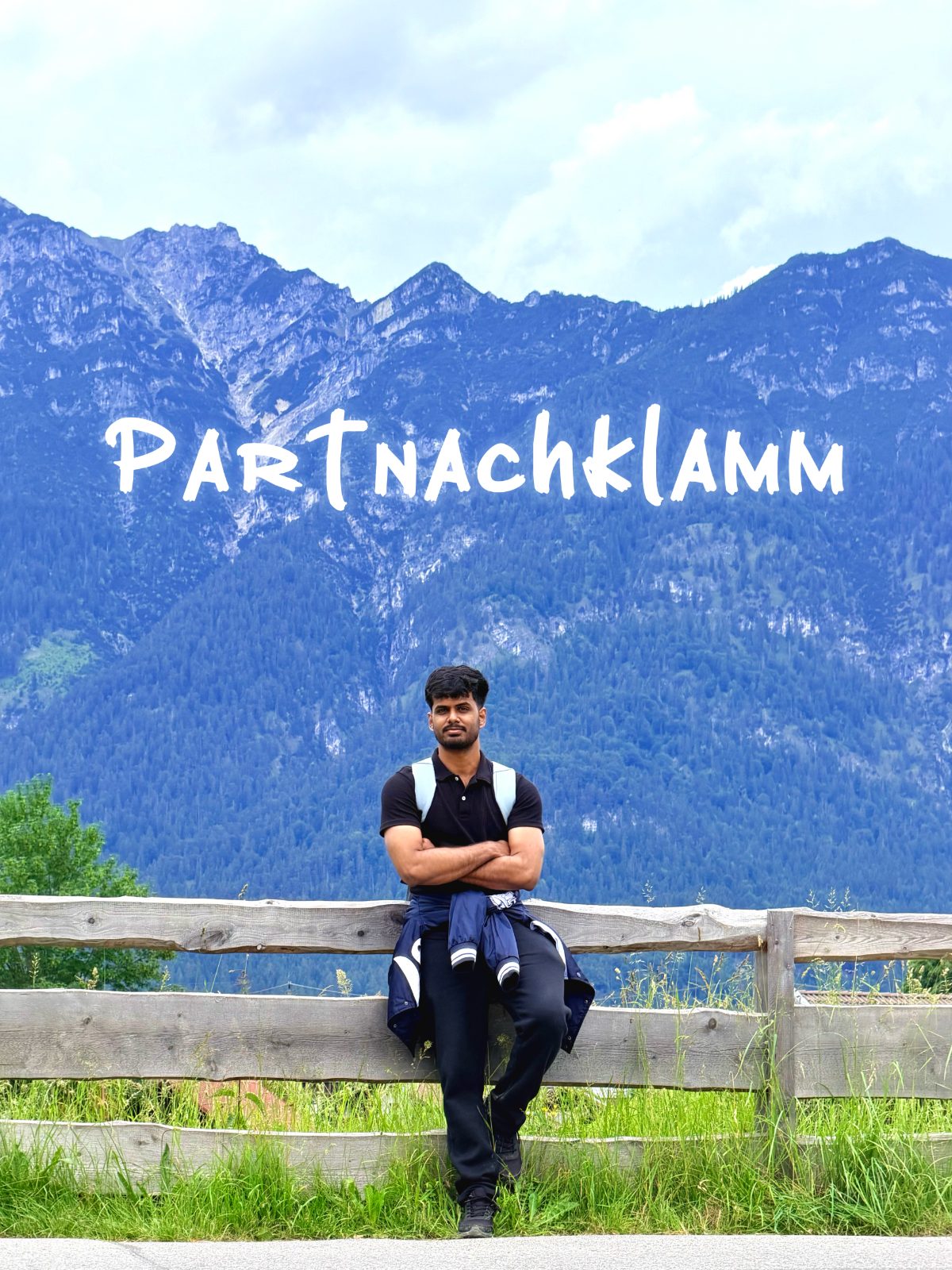
Sitting on a fence at the trailhead, mountains behind
trailhead. still dry.
Narrow gorge walls closing in above the path
the walls close in
Glacier river rushing through the gorge
glacier water, in a hurry
Deep shadowed section of the Partnach gorge
where the sun doesn't reach
A waterfall hidden between the trees in a ravine
a waterfall, hiding
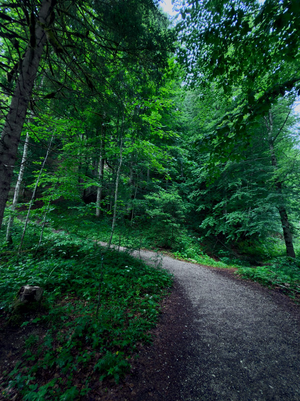
Forest path climbing above the gorge
the path kept going, so we did
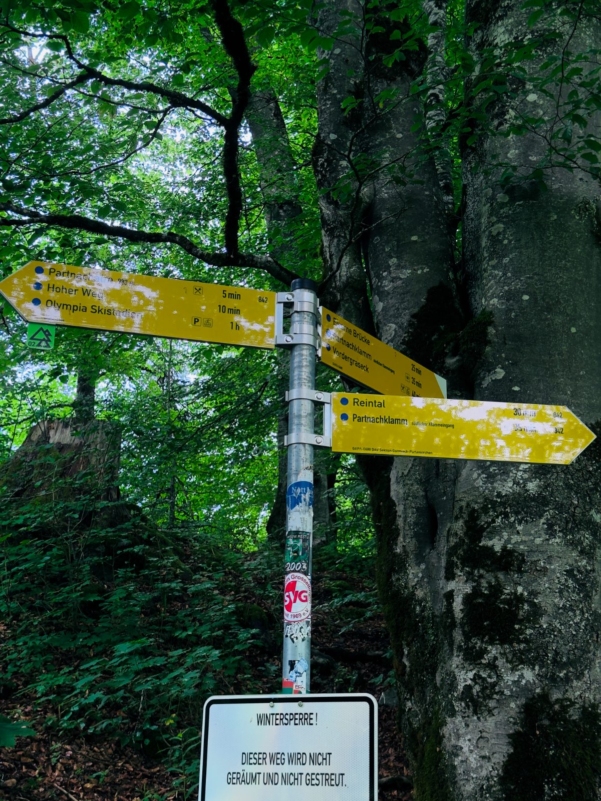
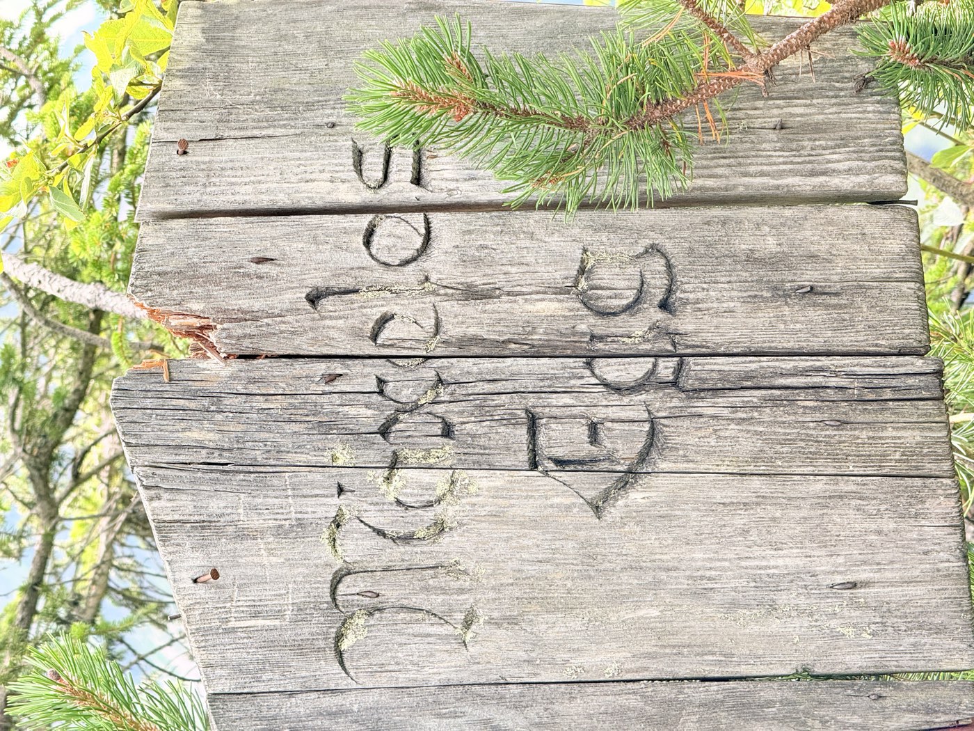
Yellow trail signposts pointing in several directions
which way? yes.
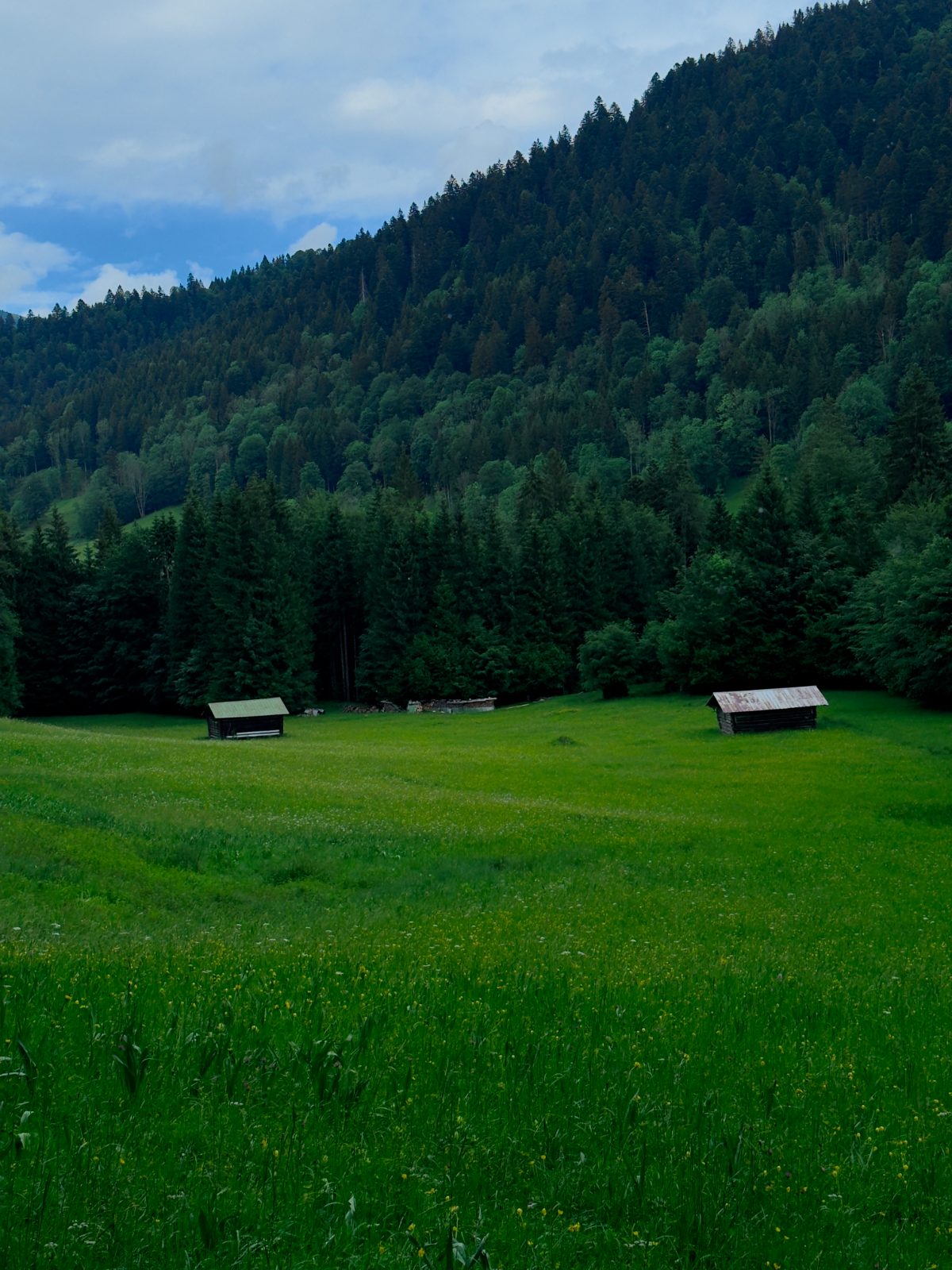
Green meadows and huts above the gorge
meadows above the gorge
p.s. — the mist always wins. bring a hood.

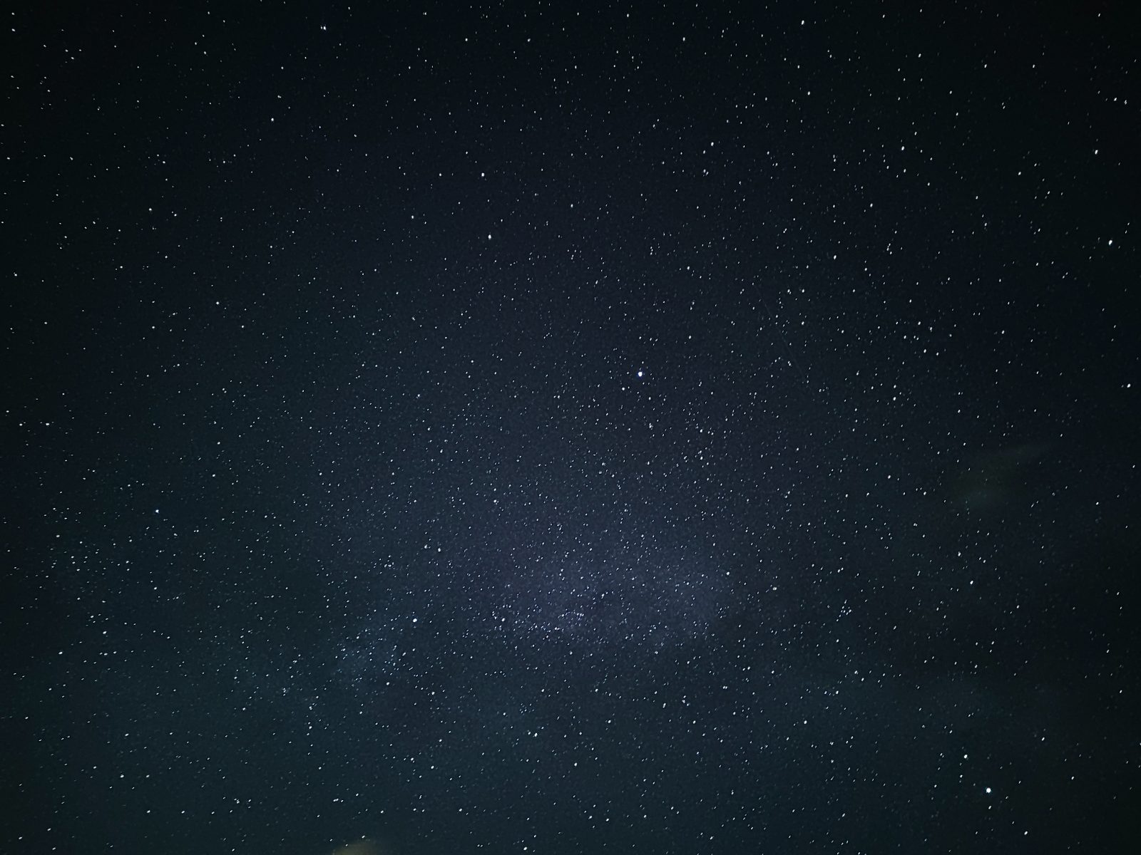
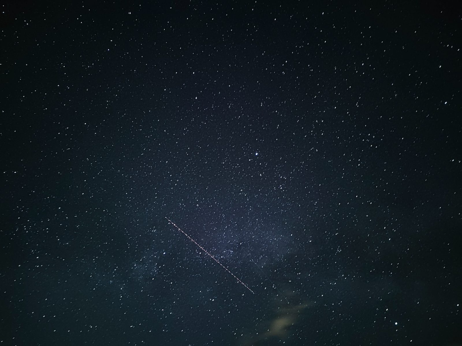
…and then we stayed for the stars.

PARTNACH VALLEY · LONG AFTER DINNER · NO CLOUDS, NO REGRETS
Star field over the dark valley
the sky over Partnach valley
Milky star field above silhouetted trees
worth every mosquito
TRIP
N°3

Untere Gaisalpsee

OBERSTDORF · ALLGÄU ALPS · 1,508 M

Seventeen kilometers, 1,520 meters of up — and, in the middle of June, snowfields to cross before the lake. Gaisalpsee was still half asleep under the ice. The way down paid us back with a golden hour I'm still thinking about, and a headlamp finish.
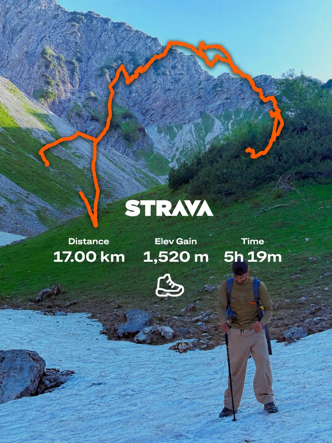
DISTANCE17.0 km
CLIMB1,520 m ↑
TIME5 h 19 m
MOODsnow-drunk
actual snow. actual June.
Crossing a snowfield with route stats overlaid
snow in June — Strava agrees
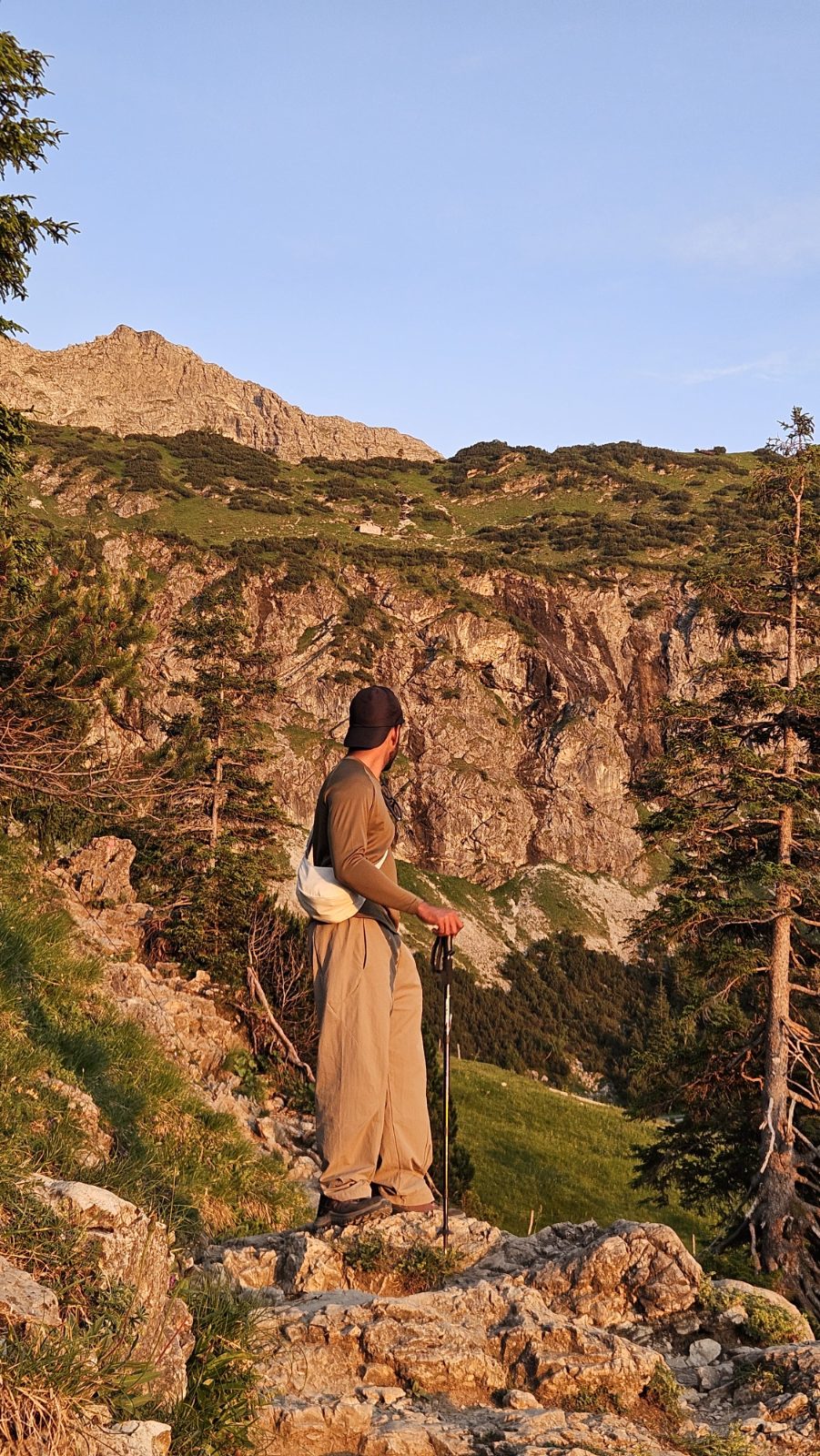
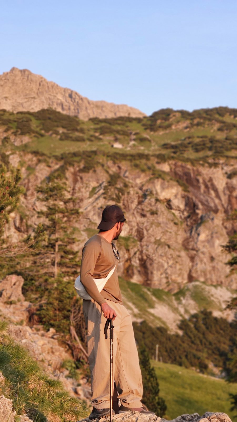
Standing on the rocky ridge in warm evening light
king of the ridge (self-appointed)
Golden hour over the ridge, hiking pole in hand
golden hour tax: 40 photos
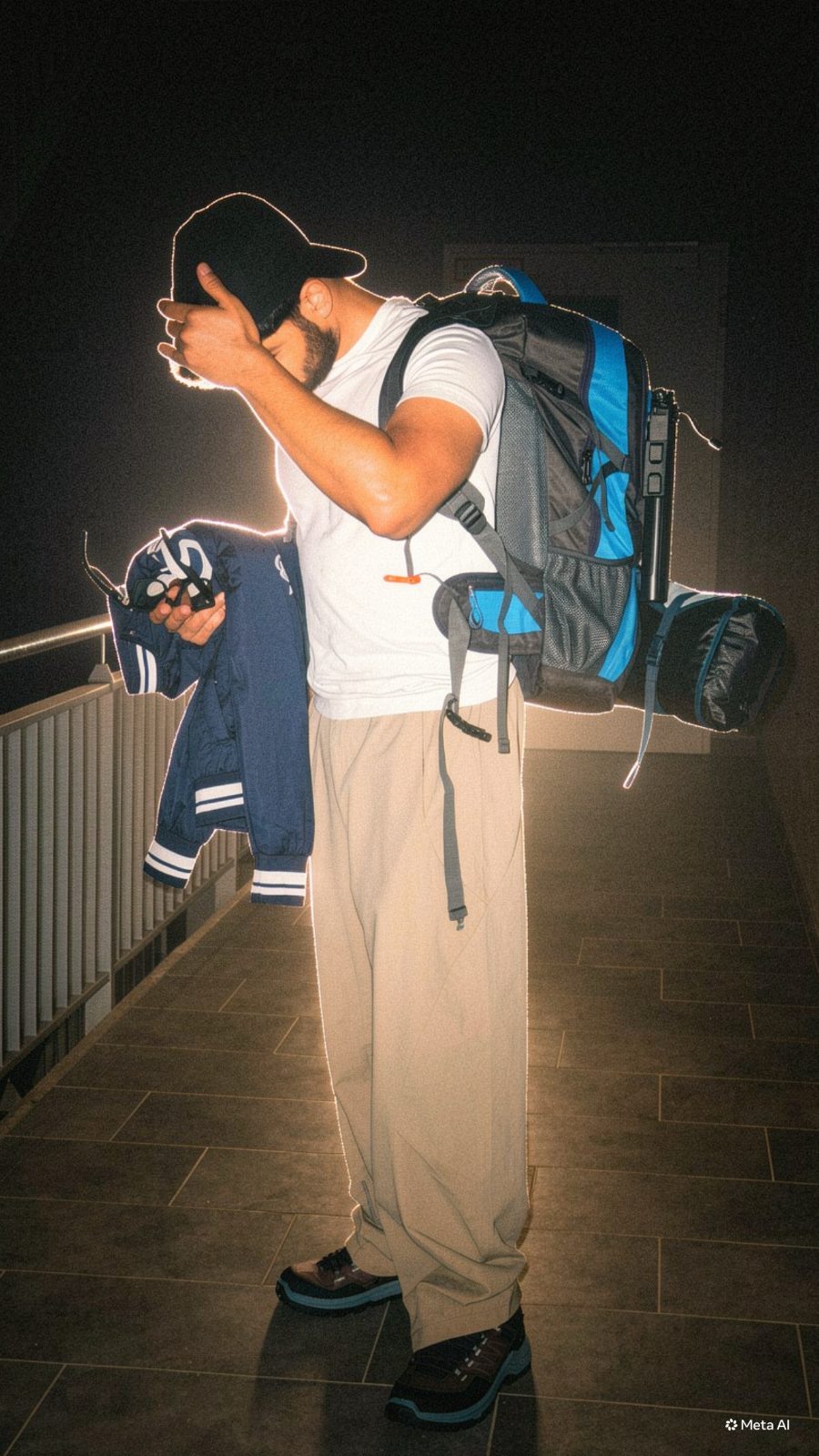
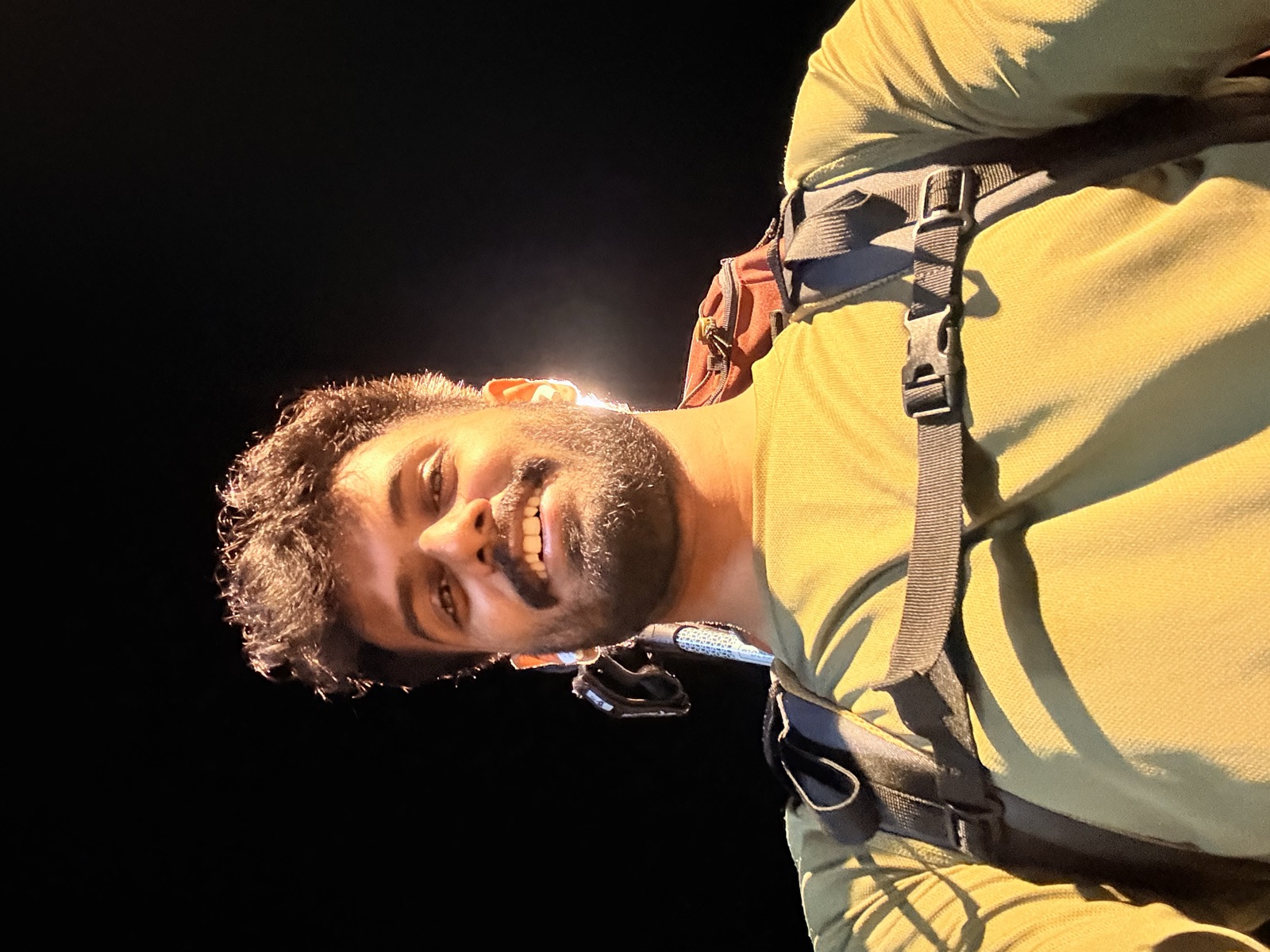
Night photo with backpack, lit by flash
the headlamp finish
rule learned: the mountain decides when you're done.
TRIP
N°4

Seealpsee

BELOW THE NEBELHORN · 1,622 M

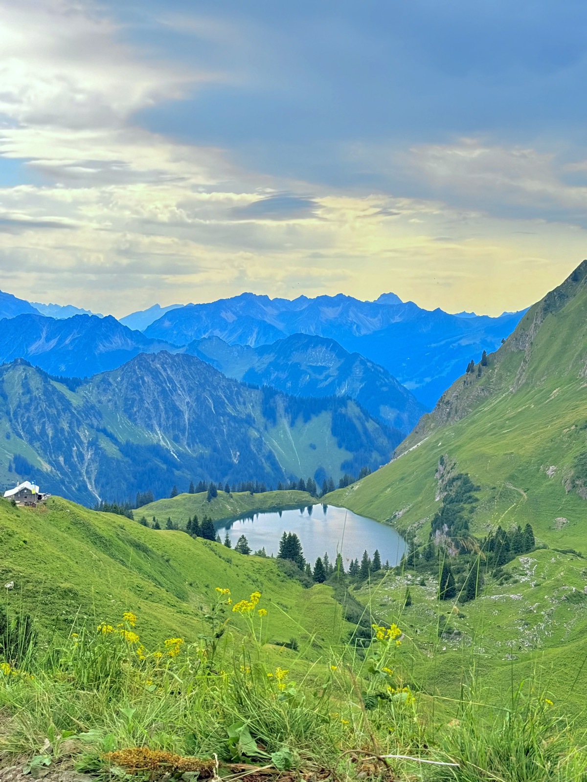
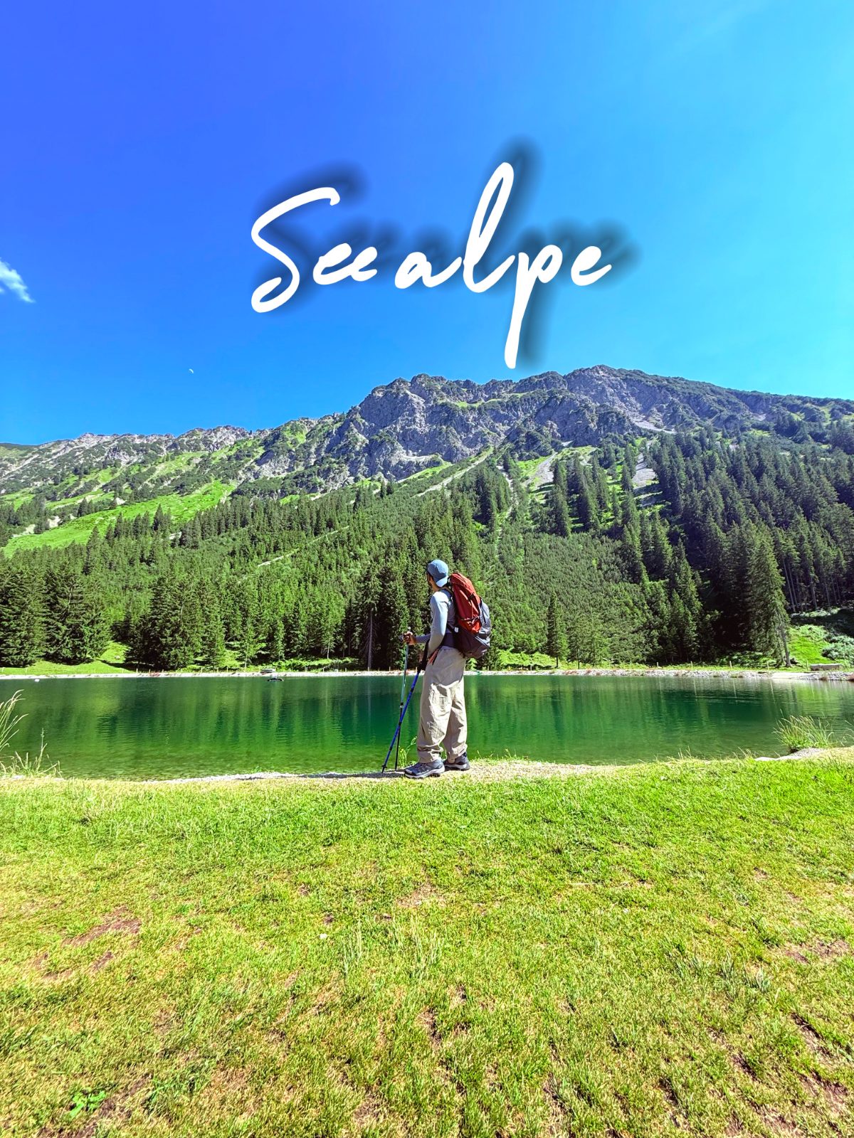
The quiet one. A green bowl high above Oberstdorf, with a lake that holds perfectly still if you do. We earned it the long way — then sat by the water saying nothing for a long, excellent while.
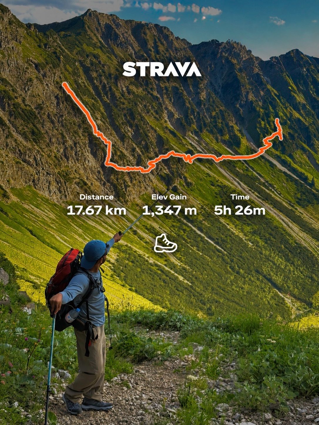
DISTANCE17.67 km
CLIMB1,347 m ↑
TIME5 h 26 m
MOODvery, very quiet
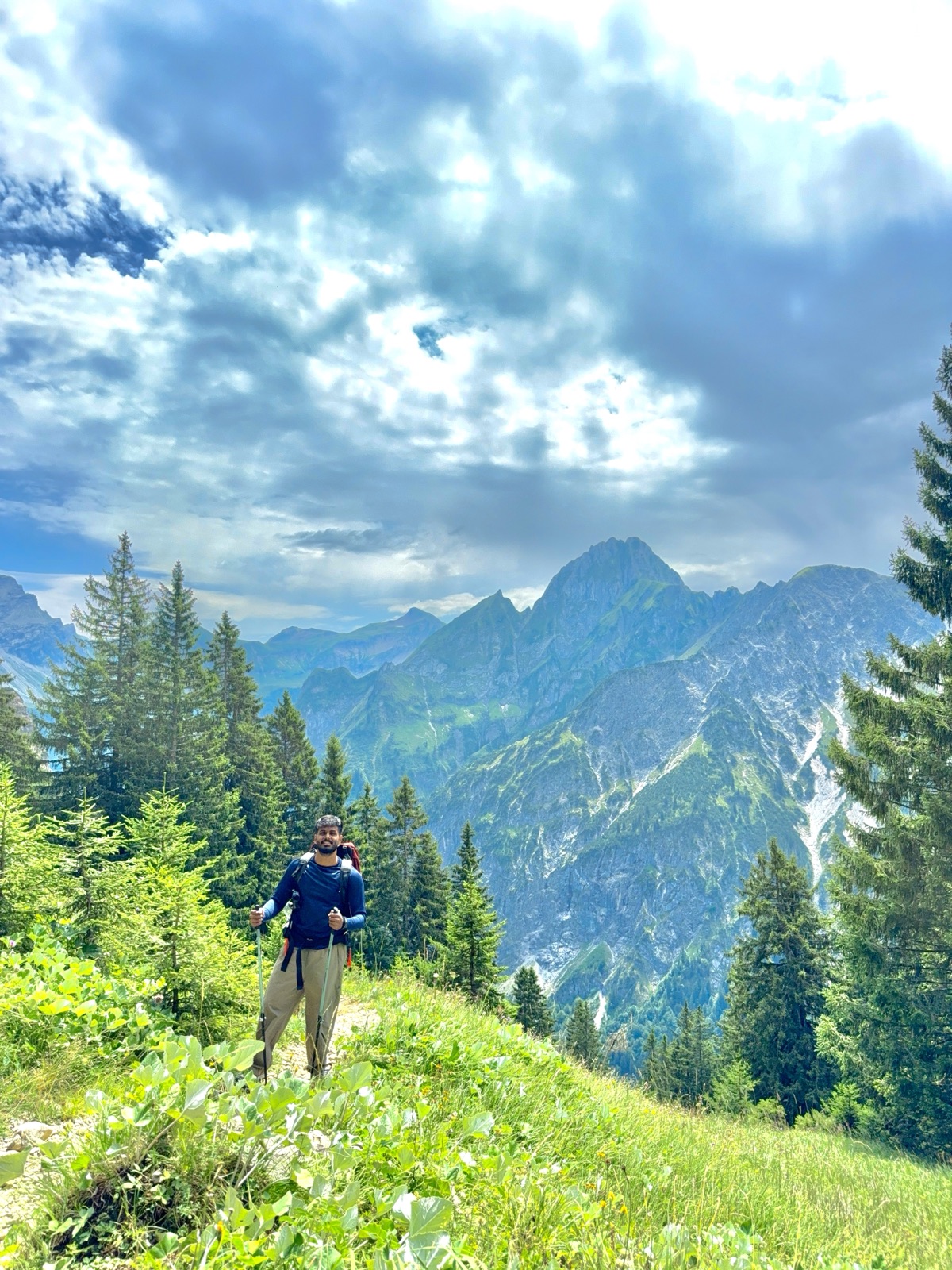
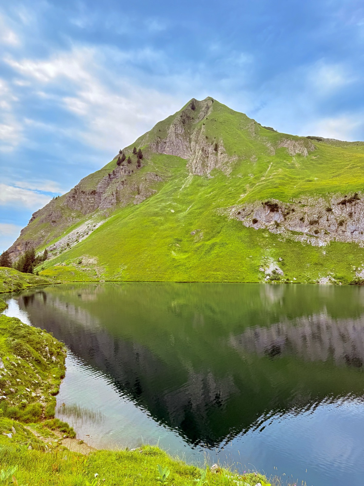
Seealpsee lake with green slopes, standing at the shore
Seealpsee, holding its breath
Hiking down the valley with the route stats overlaid
the long way down — receipts attached
THE NEXT CHAPTER

Come along next time.

I keep the group small and the pace friendly — more picnic than bootcamp. Leave your details and I'll write when the next trail and a good-weather Saturday line up.

STATUSscouting routes
WHENone Saturday soon
GROUPmax 8 humans
PACEchatting speed
bring:
water — 1.5 L minimum
rain jacket (Bavaria has opinions)
snacks — non-negotiable
curiosity

Sign the trail book

EXPERIENCE
NO SPAM — ONE EMAIL WHEN THE PLAN EXISTS.
{{ error }}
YOU'RE ON THE LIST
See you up there, {{ firstName }} — I'll bring the pretzels.
REPLY COMING FROM SOMEWHERE WITH RECEPTION